


Garmin G1000 Pilot’s Guide for Cessna Nav III
190-00498-07 Rev. A150
FLIGHT MANAGEMENT
SYSTEM
OVERVIEW
FLIGHT
INSTRUMENTS
EIS
AUDIO PANEL
& CNS
FLIGHT
MANAGEMENT
HAZARD
AVOIDANCE
AFCS
ADDITIONAL
FEATURES
APPENDICESINDEX
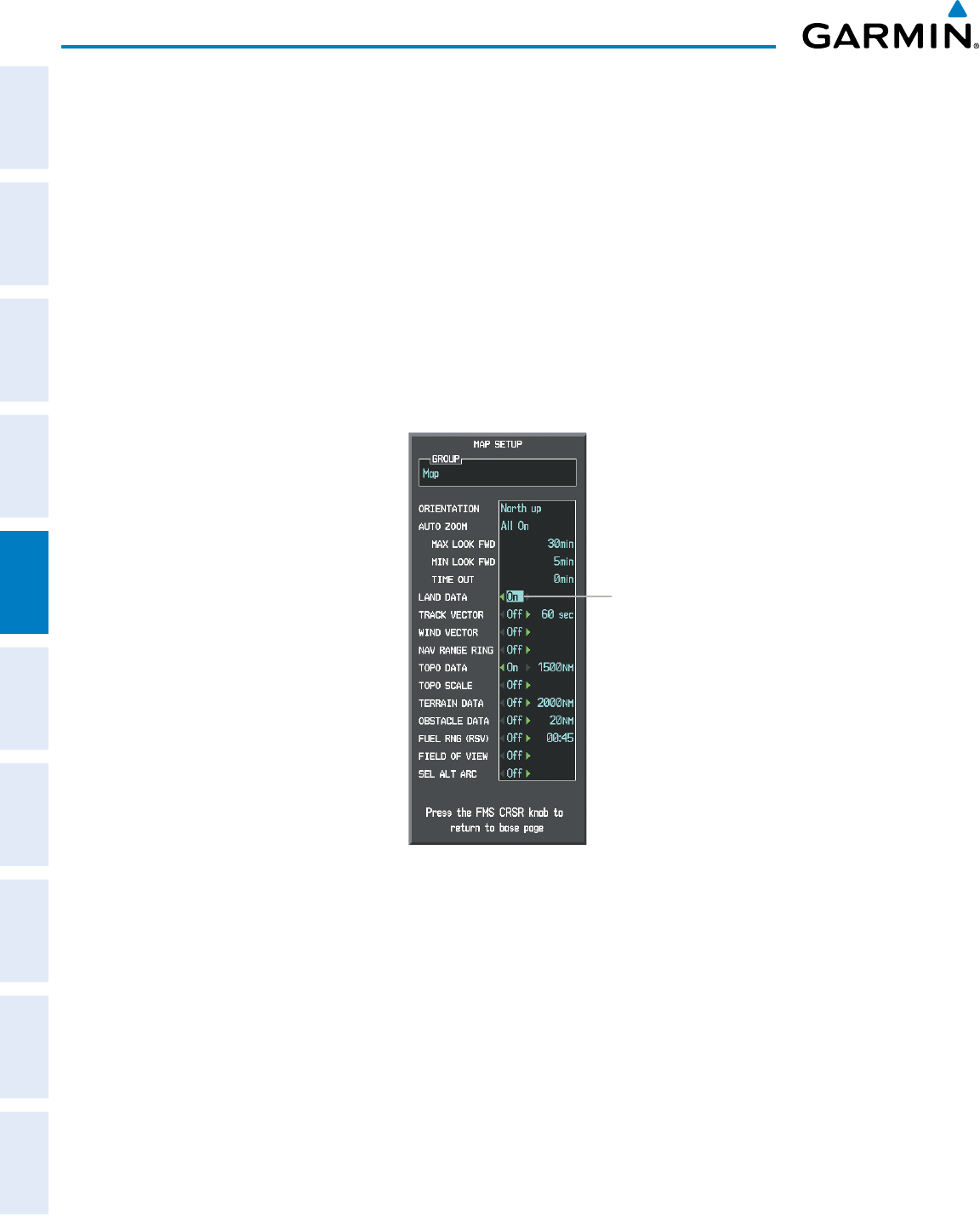
SYMBOL SETUP
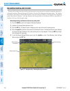
All pages with maps can display land symbols (roads, lakes, borders, etc). Land symbols can be removed
totally (turned off).
Displaying/removing all land symbols:
1) Press the MENU Key with the Navigation Map Page displayed. The Page Menu is displayed and the cursor
flashes on the ‘Map Setup’ option.
2) Press the ENT Key. The Map Setup Group Menu is displayed and the cursor flashes on the ‘Map’ option.
3) Highlight the ‘LAND DATA’ field.
4) Select ‘On’ or ‘Off’.
5) Press the FMS Knob to return to the Navigation Map Page.
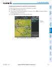
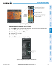
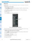
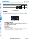
Figure 5-18 Navigation Map Setup Menu - LAND DATA Setup
LAND DATA
On/Off
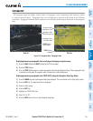
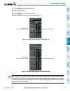
Thelabelsize(TEXT)setsthesizeatwhichlabelsappearonthedisplay(none,small,medium,andlarge).
The range (RNG) sets the maximum range at which items appear on the display.
Selecting a ‘Land’ or ‘Aviation’ group item text size and range:
1) Press the MENU Key with the Navigation Map Page displayed. The cursor flashes on the ‘Map Setup’ option.
2) Press the ENT Key. The Map Setup Menu is displayed.
3) Select the ‘Land’ or ‘Aviation’ group.
4) Press the ENT Key. The cursor flashes on the first field.
5) Select the desired land option.
6) Select the desired text size.