


25
Reference
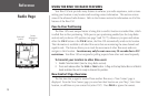
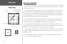
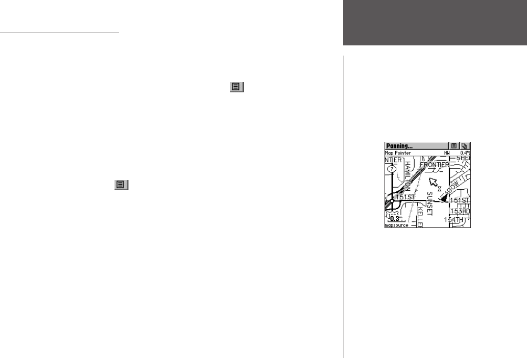
Using the Pan Map Option
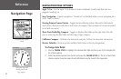
The Map Page pan function allows you to display an arrow used to point at and identify
items on the map, and to move the map in order to view areas beyond the current viewing area
on the display.
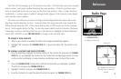
The map panning function is activated from the Option Menu on the Map Page. Use
the THUMB STICK to move the panning arrow (also referred to as the map pointer) in the de-
sired direction. If the arrow moves to the edge of the map display, the map also moves to reveal
more area and a busy hourglass appears by the cursor while the data is drawn on the screen.
Whenever you place the panning arrow on a map item, the name of that item is highlighted.
This feature applies to waypoints, roads, lakes, rivers; nearly everything that is displayed.
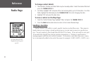
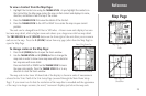
Press the THUMB STICK IN to mark the arrow location or display the map item infor-
mation page. The Option Menu allows you to: send the location of that item, project a
waypoint from it, save it as a waypoint, set a proximity circle around it, add it to a route, or
view the Sun & Moon phase or view Hunt & Fish information from it. On-screen buttons at
the bottom of the page allow you to Goto the map item, display it on the map or to select ‘OK’
and return to the Map Page. Press the PAGE button to stop panning the map.
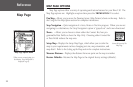
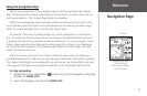
To find an item near the map pointer:
1. When using the panning arrow, press and hold the THUMB STICK IN to display the
Shortcuts Menu.
2. Select ‘Find ‘N Go’ to display items. Select the category you wish to search (waypoints,
contacts, etc.), then select ‘Near Map Pointer’ from the pop-up list. The Rino 130 then
searches for the items nearest the location of the map pointer instead of your actual
location.
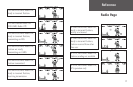
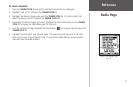
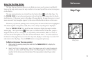
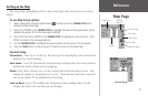
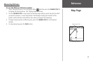
Map Page
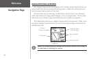
Map Page with
Panning Arrow