


Rino
®
120 Owner’s Manual 75
UNIT OPERATION > SETUP PAGES
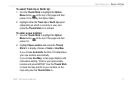
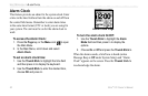
Map Datum—Offers a selection of nearly all map
datums in common use. Every map is based on a map
datum (a reference model of the earth’s shape) and is
usually listed in the title block of the map. If you are
comparing GPS coordinates to a paper map, chart, or
other reference, the map datum in this field must match
the horizontal map datum used to generate the map or
other reference. The default datum is WGS-84 (World
Geodetic Survey 1984) and should only be changed when
using maps or charts specifying a different datum. If a
map does specify a datum, use the options list to find
datums applicable to the region of the map, selecting the
one that provides the best positioning at a known point.
If necessary, you also may choose the User datum for
custom designed grids.
NOTE: The User datum is based on a WGS-84-Lo-
cal datum and is an advanced feature for unlisted
or custom datums. To learn more, check your local
library or the Internet for educational materials on
datums and coordinate systems.
Distance/Speed—Choose from three units of measure to
display your rate of travel.
Elevation/Vertical Speed
—Choose from two units of
measure to record your elevation and vertical speed.
Pressure
—Choose from millibars or Inches to measure
the pressure.
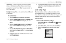
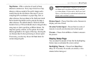
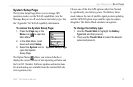
Display Setup Page
You can adjust the amount of time that the backlighting
feature stays on and adjust the screen contrast.
Backlighting Timeout
—Choose from Stays On or
delays of 15 seconds, 30 seconds, one minute, or two
minutes before timing out.