


20 GPSMAP 700 Series Owner’s Manual
Charts and 3D Chart Views
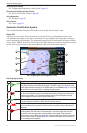
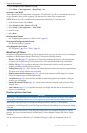
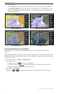
2. Complete an action:
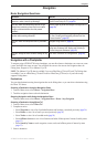
• Select to show standard chart information on the water, with photos overlaying the land.
• Select to show photos on both the water and the land at a specied opacity. Use the
slider bar to adjust the photo opacity. The higher you set the percentage, the more the satellite photos
cover both land and water.
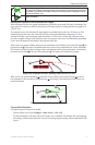
Land Only Photo Overlay
Photo Map at 100%Photo Map at 50%
Photo Overlay Off
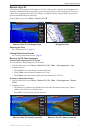
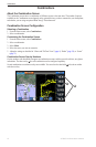
Viewing Aerial Photos of Landmarks
Before you can view aerial photos on the Navigation chart, you must turn on the Photo Points setting
(page 11).
Preprogrammed BlueChart g2 Vision data cards contain aerial photographs of many landmarks, marinas, and
harbors. Use these photos to help orient yourself to your surroundings or to acquaint yourself with a marina or
a harbor prior to arrival.
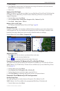
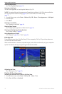
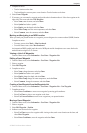
1. From Home screen, select > .
2. Select a camera icon.
• A standard camera icon ( ) indicates an overhead photo.
• A camera icon with a cone ( ) indicates a perspective photo. The photo was taken from the
location of the camera, pointed in the direction of the cone.
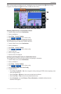
3. Select > .
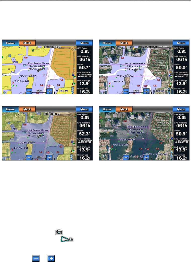
: Select and to zoom out and zoom in while viewing the aerial photo on the full screen.