


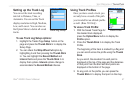
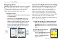
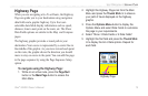
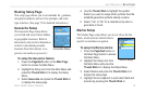
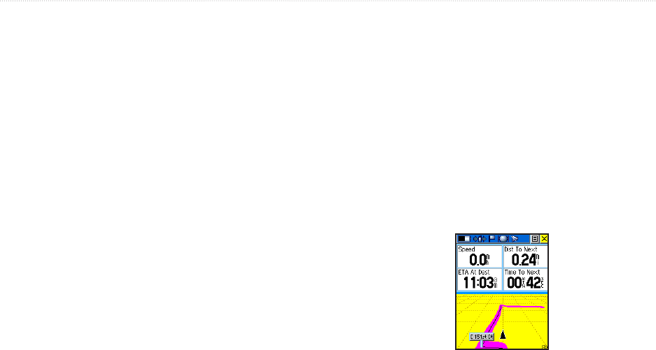
Highway Page
When you are navigating a Go To or Route, the Highway
Page can guide you to your destination using navigation
data fields and a graphic highway. Up to four user-
selectable data fields display information such as speed,
distance, time to next point on the route, etc. The Show
Data Fields options are similar to the Map and Compass
pages.
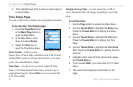
The highway graphic provides a visual path to your
destination. Your course is represented by a center line in
the middle of the graphic. As you move toward each point
on the route, the graphic shows the direction you should
move to stay on course to the point. You can add this page
to the page sequence by using the Page Sequence Setup
option.
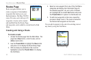
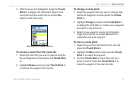
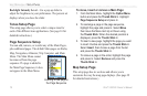
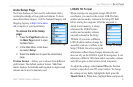
To navigate using the Highway Page:
1. While on an active route, press the Page/Quit
button or the Main Page button to access the
Main Menu.
2. Highlight the Highway Page icon from the Main
Menu and press the Thumb Stick In to observe
your path of travel displayed on the highway
graphic.
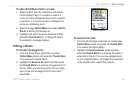
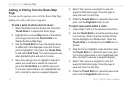
3. Press the Options Menu button to display the
Options Menu and select Data Fields to customize
the page to your requirements.
4. Select “Show: 3 Data Fields or 4 Data Fields”
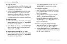
5. Highlight the first field and press the Thumb Stick
In to display the list of data options. Repeat for
each field.
Highway Page
UNIT OPERATION > HIGHWAY PAGE
Rino
®
520/530 Owner’s Manual 75