


30 Rino
®
520/530 Owner’s Manual
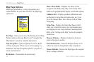
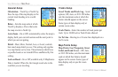
UNIT OPERATION > MAP PAGE
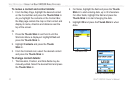
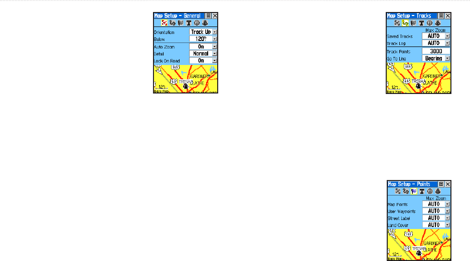
General Setup
Orientation—Track Up or North Up;
fixes the top of the map display to the
current track heading or to a north
heading.
Below—Sets the map scale at which
Track Up displays. Above that scale
the map reverts to North Up.
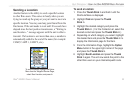
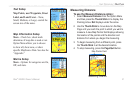
Auto Zoom—On or Off; automatically scales the map to
display both your current location and the next point to
which you are navigating.
Detail—Most, More, Normal, Less, or Least; controls
how much map detail you see. This setting only applies
to a map feature set to Auto. Those features which have
a specified scale or are turned Off are unaffected by this
setting.
Lock on Road—On or Off; available only if MapSource
Data is loaded. When On, the triangle icon locks to the
road that you are traveling.
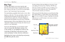
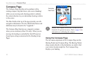
Tracks Setup
Saved Tracks and Track Log—Scale
options; Off, Auto, or 20 ft–500 miles,
sets the maximum scale at which the
feature should appear on the screen.
Some types of data display only at
certain zoom scales.
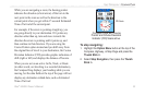
Track Points
—Select the number of track points per
track. Up to 10,000 active Track Points allowed
Go To Line
—Bearing to or Course line displayed on a
Go To route.
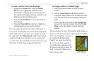
Map Points Setup
Map Points, User Waypoints, Street
Label, and Land Cover—Off, Auto,
or 20 ft–500 miles, sets the maximum
scale at which that feature should
appear on the screen. Some types of
data display only at specific zoom
scales.